A new UN map vote puts Africa’s true scale in the spotlight
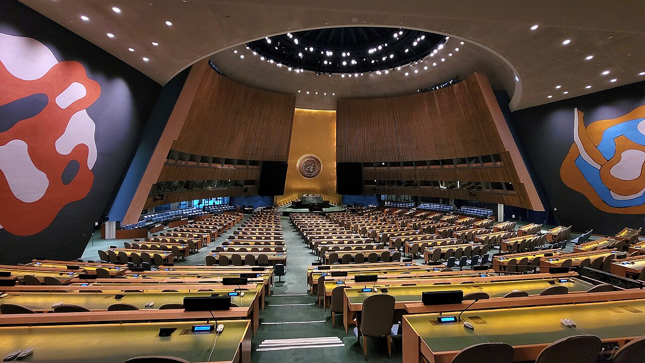
On September 4, the UN General Assembly endorsed wider use of the Equal Earth map projection, according to AP, following an African-led campaign.
Every flat world map makes compromises. A globe can preserve relationships that cannot all be reproduced on a rectangle. The editorial lesson is to ask what a map is designed to show: area, direction, distance or another relationship. Choosing a projection changes what readers notice first.
How to read a map more critically
Look for a projection label and a scale. Compare countries on a globe or an equal-area representation before drawing conclusions about relative size. A map designed for navigation may serve that purpose well while creating a misleading impression when used to compare continents in a classroom.
What the vote does not settle
A resolution does not automatically replace every atlas or digital map. Implementation depends on institutions and the purpose of each product. Readers should distinguish endorsement from adoption, and adoption from universal use. This article explains the cartographic issue; it does not reproduce AP’s reporting or imply a partnership.
AP · September 4 map resolution ↗
The opening news summary is attributed to this source. The explanation and reader checklist are original editorial analysis. Developments after September 7 are not reflected here.